BLOG
|
|
Segment 15: Kadoka SD to Tacoma SD
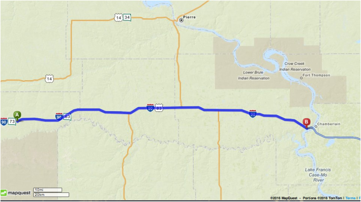
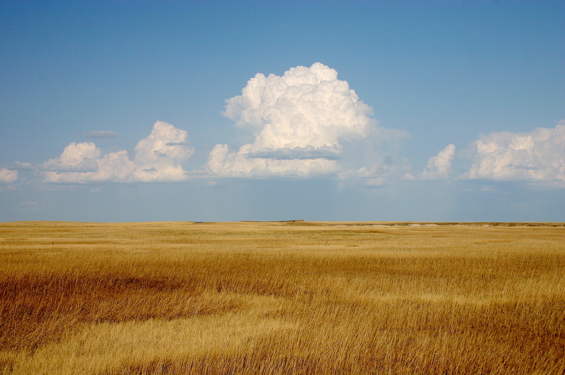
Segment 16: Oacoma SD to Mitchell SD Segment 17: Mitchell SD to Sioux Falls SD THIS IS THE SECOND WEEK SPENT CROSSING SOUTH DAKOTA. According to a Wikipedia entry The state can roughly be divided into the Black Hills, western, and eastern regions. Geographically the eastern and western regions are defined by the Missouri River, which acts as a boundary dividing them. The Black Hills area, traversed last week, is sufficiently distinct from the rest of western South Dakota, that it can be considered separately from or combined with it. The route takes you west to east, across vast grasslands to Oacoma, then to Mitchell after crossing the Mighty Missouri River then Sioux Falls. According to the USDA Forest Service website, the topography of the federal grassland, Fort Pierre National Grassland, includes flat to gently rolling hills with intermittent medium- to large-sized ponds. These ponds provide water for wildlife and livestock and serve as important habitats for waterfowl and popular fisheries. The prairie grassland vegetation shelters many wildlife species and native and migrating birds. Nature lovers will have a field day (pun intended) or two as the rooute takes them to the largest city in SD. The Nature Conservancy has a wonderful page about the prairie grasslands, which are considered an endangered habitat, and on it there are links to other stories about efforts being made to preserve plant and animal life there. The city of Sioux Falls, on the very eastern edge of the state of South Dakota, less than 20 miles from the Minnesota state border, is made famous by the cascading of the Big Sioux River over rock formations resulting from the ice ages, according to a Wikipedia entry. The area has been sacred ground to many native peoples for centuries and is the site of burial grounds. As you reflect on the importance of the lands through which you have traveled to past inhabitants as well as modern wildlife, less solemnly you can acknowledge the very physical importance to you of having passed the west-east midway point of the trip at midweek… YAY! If you are using this virtual journey as a teaching or learning tool, this week’s segment provides a perfect opportunity to discuss the prairie/grasslands biome. There are online learning modules that you can check out yourself; just search those words. The images of the grasslands are often stunningly beautiful; the scenery would be so much more enjoyable on a real run or walk as the route is relatively flat. I hope eventually I make the effort to experience the US prairie in person. RUN HAPPY! The segment maps, Itinerary, and Calendar are available for download on the RESOURCES page. https://en.wikipedia.org/wiki/Geography_of_South_Dakota http://www.nature.org/ourinitiatives/regions/northamerica/unitedstates/minnesota/explore/grasslands-minnesota-north-south-dakota.xml https://en.wikipedia.org/wiki/Prairie https://en.wikipedia.org/wiki/Sioux_Falls,_South_Dakota
0 Comments
Your comment will be posted after it is approved.
Leave a Reply. |
BRIDGE TO PHYSICAL SELF
Running, walking, and fitness activities enable us to experience our physical selves in a world mostly accessed through use of fingers on a mobile device. AuthorEARNED RUNS is edited and authored by me, runner and founder. In 1978 I began participating in 10K road races before 5Ks were common. I've been a dietitian, practiced and taught clinical pathology, and been involved with research that utilized pathology. I am fascinated with understanding the origins of disease as well as health and longevity. Archives
November 2023
CategoriesNew! Search Box
Earned Runs is now searchable! Check it out...
|


 RSS Feed